
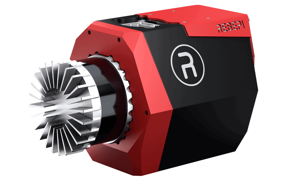
The RESEPI GEN II range of high-accuracy LiDAR point cloud generation solutions is ideal for a range of military, defense and government mapping, surveying and point cloud data applications. The systems allow users to easily customize both the hardware and software to use without worrying about additional development. Inertial Labs provides everything required for assembling, calibrating, and bore-sighting, while users retain full control over customization.
Built around a Linux-based processing platform, the modular systems include Inertial Labs’ own INS-D high-performance dual-antenna GPS-aided inertial navigation system (INS) with tactical-grade IMU, as well as Wi-Fi communications and an embedded cellular modem for in-flight RTCM RTK corrections. The GEN II line builds on its predecessors with more powerful onboard computing as well as tight platform integration for UAVs thanks to MAVLink and DJI Payload SDK compatibility. External sensors such as wheel speed sensors, encoders, external IMUs or Air Data Computers (ADCs) can also be easily integrated.
Thanks to Inertial Labs’ cutting-edge orientation and positioning technology, RESEPI produces extremely thin point clouds even at a high AGL. RESEPI’s software suite features fully-automated RTK LAS file generation, as well as a one-click command line interface for post-processing.


