Discover Leading Defense Technology Solutions
Discover cutting-edge solutions from leading global suppliers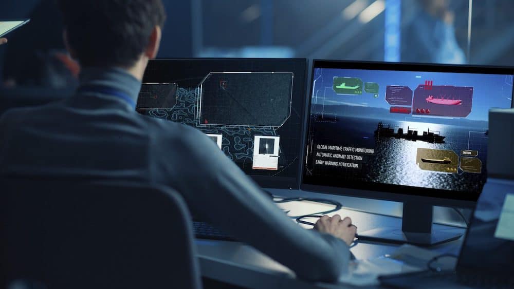
SmartSat CRC, Leonardo Australia, e-GEOS, and Deakin University have signed an agreement for the first phase of ‘Enhancing Earth Observation for Maritime Domain Awareness’ (EO4MDA), aimed at supporting authorities across the Australian Exclusive Economic Zone and coastal areas with data from ground, air, and naval-based systems, integrated with space-based data reports.
In the frame of this agreement, the partners will develop and demonstrate first phase activities towards an Australian maritime domain awareness capability with satellite technologies enhanced by artificial intelligence, aligned to national and civil security objectives.
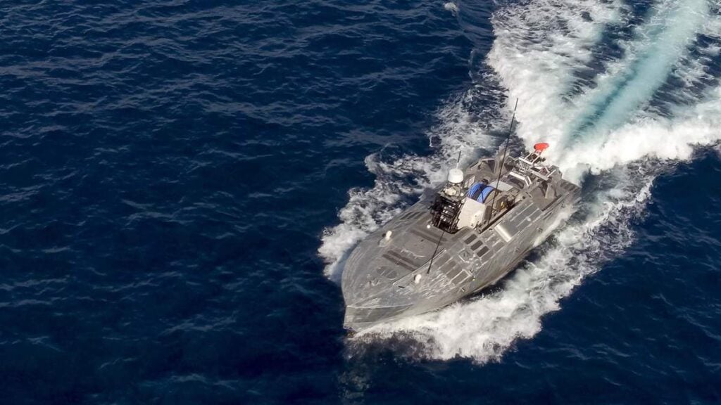
Drawing on many years of operational experience in providing maritime surveillance services to institutional users such as navies, coast guards, police corps and international agencies, as well as to private customers, Leonardo and its subsidiary e-GEOS will offer digital infrastructure and personnel to accelerate the research outcomes of the project. In particular, EO4MDA will use the e-GEOS platform SEonSE, which merges data from the Italian Space Agency and the Italian Ministry of Defense COSMO-SkyMed constellation – particularly useful to generate vessel detection reports thanks to its Synthetic Aperture Radar (SAR) technology – as well as data from other satellites and different sources. Leveraging the use of cloud computing and big data analytics, SEonSE provides real-time maritime situational awareness to detect illegal activities, support environment monitoring (i.e., oil leaks) and fight piracy.
“We are proud to collaborate with SmartSat CRC and Deakin University, offering our technologies and knowhow to support Australian-led R&D to drive world-leading Earth Observation remote sensing capabilities, drawing on expert knowledge from an industrial Group, Leonardo, a leader in the development and supply of integrated systems and technologies for maritime domain awareness, and on 25-years of experience in the Earth observation domain, with e-GEOS as an international leader,” said Giorgio Mantegazza, Leonardo Australia Managing Director.
“This collaboration also brings a further step towards the operability of our Digital Platforms Revolution: SEonSE is an example of the ability of e-GEOS to integrate Artificial Intelligence techniques, multisource data,” added Paolo Minciacchi, e-GEOS CEO.
“Based on Geospatial Big Data Analytics on long time series of satellite acquisitions and information from other sources, SEonSE extracts maritime traffic information highlighting the main routes and volumes per ship type and activities, thus providing timely and effective services.”
With top expertise in the field of artificial intelligence, optimisation, and uncertainty quantification, the Institute for Intelligent Systems Research and Innovation (IISRI) at Deakin University will test newly developed machine learning models to be integrated into the SEonSe platform to improve satellite-based data efficiency in the Australian environment and make predictions on anomalous behavior at sea, therefore allowing the authorities to plan the best strategies.
“Deakin researchers will develop state-of-the-art deep learning algorithms with uncertainty-aware capabilities for anomaly detection utilizing data from satellites and other repositories,” said Alfred Deakin Professor Saeid Nahavandi, Director of IISRI and Pro Vice Chancellor of Deakin University.
“We are excited to work with experts from Leonardo and SmartSat CRC on this project, establishing sovereign capabilities in earth observation for Australia.”
“This is an exciting collaborative project with our partners Leonardo Australia and Deakin University,” added Professor Andy Koronios, SmartSat CEO.
“They will investigate applications of satellite-derived data to assist maritime decision-makers in a real-world demonstration. This project will deliver practical outcomes for our nation enabling us in enhanced border protection, monitoring of our fisheries and aquaculture as well as discharging our responsibilities in search & rescue and maritime safety. I am delighted with this impactful collaboration with our great partners Leonardo Australia and Deakin University.”