

Geolocation Technology for Military & Defense
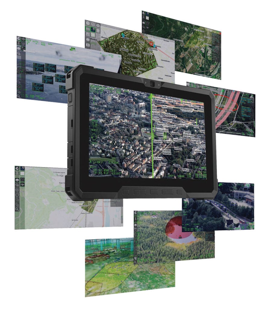
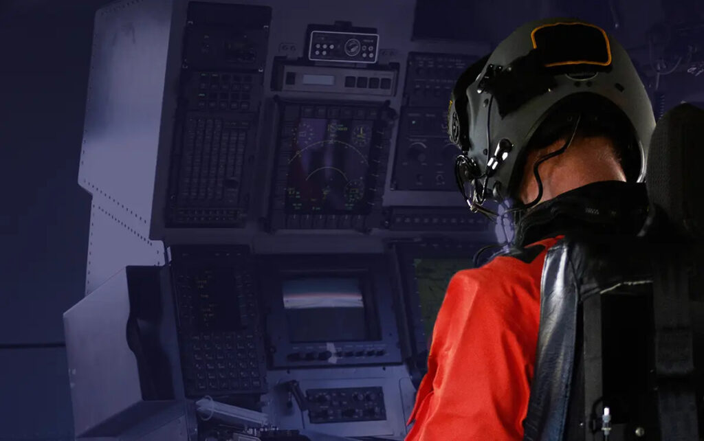
Geolocation technology software is designed to enhance operational efficiency and situational awareness in military and defense applications. From real-time tracking and geo-verification to advanced geopositioning systems, these solutions provide secure, reliable, and highly precise location intelligence. Geolocation platforms integrate seamlessly with defense systems, enabling accurate asset tracking, dispatch coordination, and mission-critical decision-making.Geolocation technology plays a critical role in enhancing situational awareness, precision targeting, and mission coordination for military and defense operations.
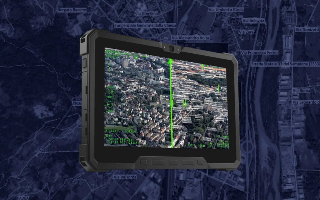
These advanced systems integrate geolocation software, geopositioning technology, and specialized hardware to deliver real-time positional data essential for strategic decision-making.
Designed to function in challenging environments, geolocation platforms provide defense forces with accuracy, reliability, and operational security.
Military Geolocation System Technology
Modern geolocation technology leverages a combination of GPS, advanced sensors, and software solutions to track assets, personnel, and vehicles in real time.
These systems are often paired with geo-verification software, ensuring secure identification of positions for friendly forces while maintaining operational integrity against spoofing or jamming attempts.
Whether deployed as standalone geolocation platforms or integrated into broader command and control systems, these solutions empower commanders with actionable data for battlefield management.
Geolocation Software
Geolocation software integrates centralized applications that process, analyze, and visualize positional data. Advanced geolocation systems incorporate algorithms to optimize dispatch systems, ensuring rapid deployment and response in dynamic situations.
Geopositioning Technology
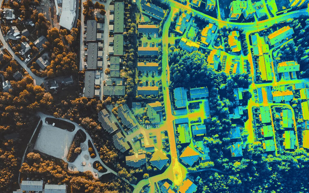
Geopositioning technology combines satellite navigation data with inertial navigation to maintain accuracy even in GPS-denied environments. This capability is vital for military operations in remote or contested areas.
Geolocation Solutions for Defense Applications
Geolocation solutions for defense systems feature custom-built software tailored to military needs, offering enhanced security protocols, redundancy, and adaptability for unique operational requirements.
Geolocation Technology Applications in Defense and Security Operations
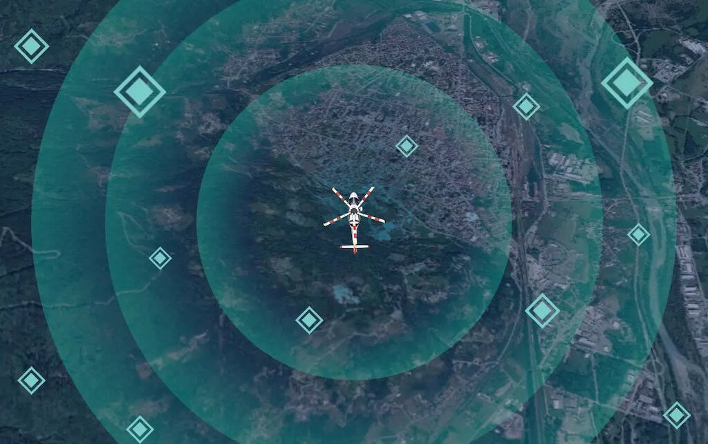
Geolocation technology underpins critical functions in modern defense strategies. Military tracking systems can provide seamless monitoring of troop movements, asset locations, and logistics operations. This ensures optimal resource allocation and improved response times in combat and humanitarian missions.
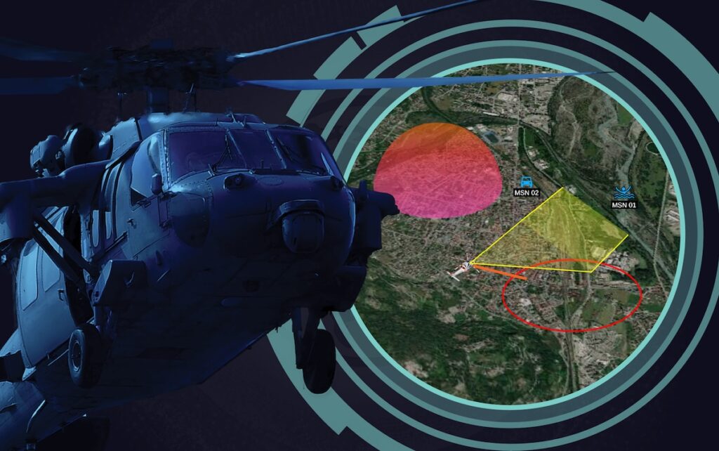
Geolocation and dispatch systems are often valuable in joint operations, enabling synchronized actions across multiple units. These systems can streamline mission planning, resource coordination, and real-time adjustments to evolving threats or opportunities.
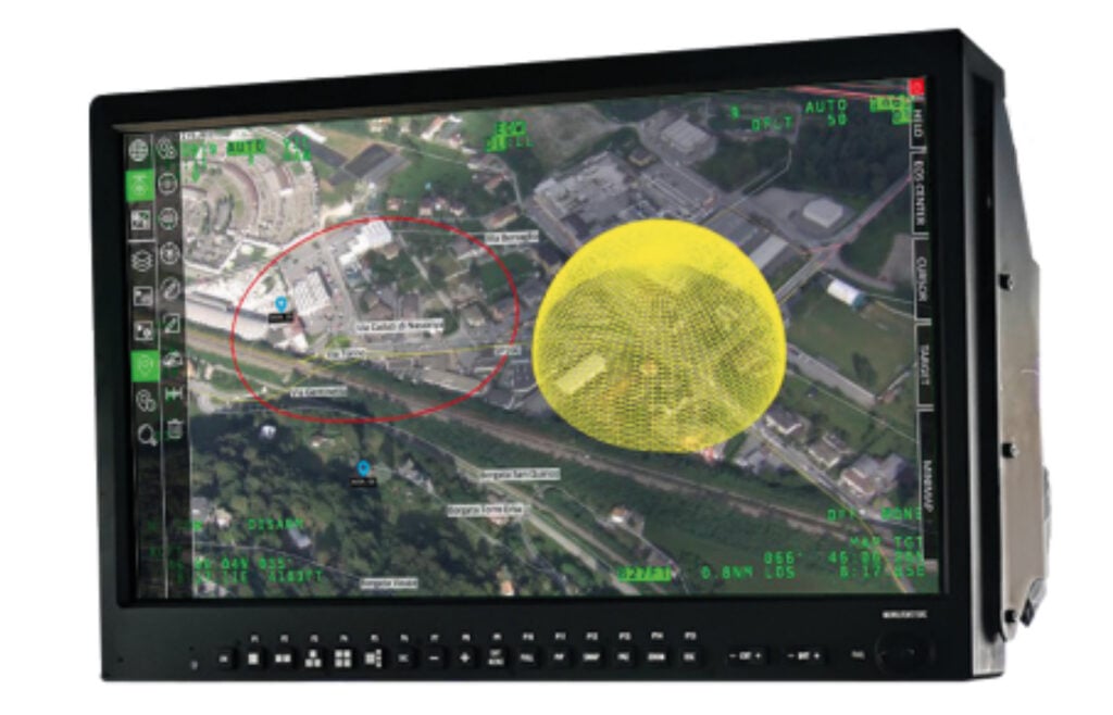
In intelligence and reconnaissance, geolocation technology can support precision targeting and surveillance. Platforms with integrated geo-verification software can enhance the accuracy of strikes from military drones, artillery fire, and other long-range assets while minimizing collateral damage.
Overcoming Geolocation Challenges in Military Settings
Developing and deploying geolocation systems for military use typically requires addressing specific challenges:
- Operating in Contested Environments: Ensuring reliable performance in areas with GPS jamming, interference, or spoofing. Modern geolocation technology can employ multi-signal processing, inertial navigation, and anti-jam capabilities to maintain operational effectiveness.
- Data Security: Protecting sensitive positional data from cyber threats is paramount. Advanced encryption, secure transmission protocols, and geo-verification systems help safeguard geolocation platforms.
- Environmental Durability: Military geolocation systems should withstand extreme temperatures, humidity, and physical shocks. Ruggedized components and specialized enclosures ensure uninterrupted functionality in austere conditions.
Advancements in Geolocation Platforms for Defense
Recent innovations in geolocation technology focus on enhanced integration, scalability, and autonomy.
Artificial intelligence (AI) and machine learning (ML) are increasingly utilized to predict movement patterns, optimize route planning, and automate reconnaissance missions. These advancements can improve decision-making efficiency and mission outcomes.
Hybrid systems combining geolocation and communications platforms are also transforming battlefield operations. By fusing geolocation with secure communication networks, defense forces can gain an edge in operational coordination and tactical response.
Products (2)

Related Articles


ITAR free Position, Navigation and Timing (PNT) solutions for Sea, Land & Air applications


 Join Global Defense Engineering Professionals
Sign up free to DA Pro to get full website access, the weekly eBrief and exclusive event discounts.
Join Global Defense Engineering Professionals
Sign up free to DA Pro to get full website access, the weekly eBrief and exclusive event discounts.


