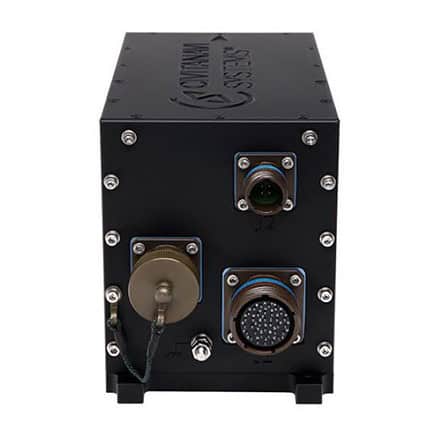
Inertial Navigation Systems (INS) for Defense and Military Applications
Inertial navigation systems (INS) provide precise positioning, velocity, and orientation data in environments where GPS signals are unavailable or compromised. By leveraging accelerometers, gyroscopes, and advanced sensor fusion techniques, INS enables reliable navigation for aircraft, submarines, autonomous vehicles, and guided weapons. From missile guidance to UAV navigation in GPS-denied environments, INS technology ensures operational effectiveness in challenging scenarios. This page explores the fundamentals of INS, its components, working principles, military applications, and the latest advancements shaping the future of inertial navigation.
An inertial navigation system (INS) is a self-contained navigation solution that determines position, velocity, and orientation using internal motion sensors. Unlike GPS, which relies on satellite signals, an INS operates independently, making it essential for defense and military applications where external signals may be unavailable or compromised.
Importance of INS in Navigation and Positioning
Reliable navigation is critical for military operations. INS technology enables accurate positioning in GPS-denied environments, ensuring the seamless operation of aircraft, submarines, autonomous vehicles, and guided weapons. Its robustness against electronic warfare and GPS jamming makes it indispensable for defense applications.
How Does INS Work?
INS relies on an inertial measurement unit (IMU) that integrates data from accelerometers, gyroscopes, and sometimes magnetometers to track motion and orientation. By continuously calculating position changes based on acceleration and angular velocity, an INS can provide precise navigation data. Advanced systems use aiding sensors, such as barometers and Doppler radar, alongside error correction algorithms like the Kalman filter to improve accuracy and reduce drift.
Data collection and sensor fusion
INS collects raw data from multiple sensors and integrates it using sensor fusion techniques. This enhances accuracy by cross-verifying different sources of motion data.
Integration of motion data
By continuously updating position based on detected accelerations and rotations, INS provides real-time navigation information without reliance on external signals.
Error correction and drift management
One of the challenges of INS is error accumulation over time. Techniques such as drift compensation, sensor calibration, and hybrid navigation with GPS mitigate these errors.
Role of Kalman filtering
The Kalman filter plays a crucial role in refining data accuracy by filtering out noise and predicting optimal state estimates based on previous measurements.
Components of an INS
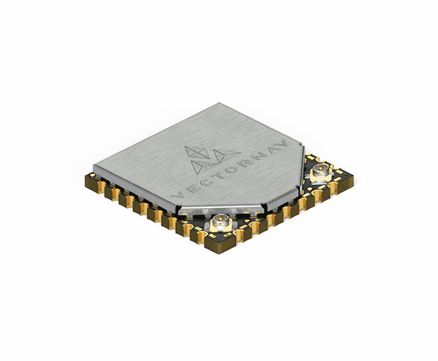
Inertial measurement unit (IMU)
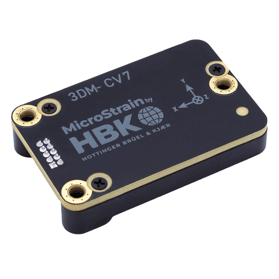
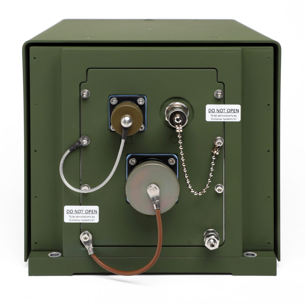
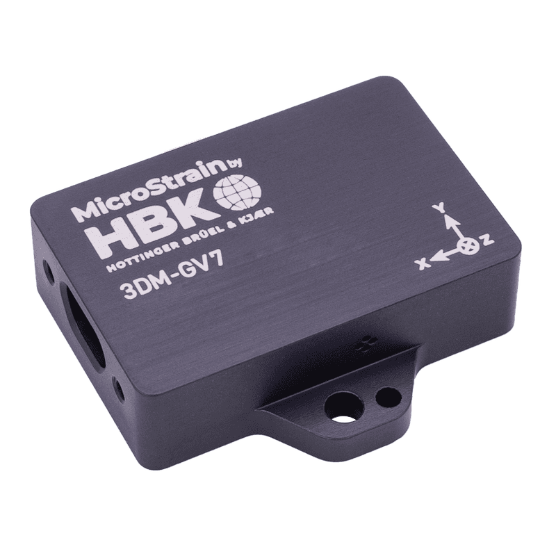
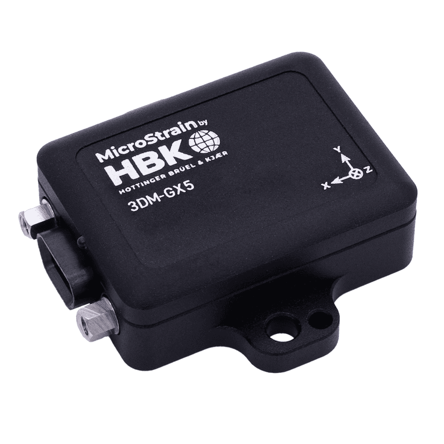
3DM-CV7-AR IMU & VRU by MicroStrain by HBK
The IMU is the core of an INS, combining multiple sensors to measure linear and angular motion. High-precision IMUs enhance navigation accuracy and reduce drift.
Accelerometers
Accelerometers measure linear acceleration along different axes. By integrating acceleration data over time, the system calculates velocity and displacement.
Gyroscopes
Gyroscopes detect angular velocity and help determine orientation. Precision gyroscopes, such as fiber-optic and ring laser gyros, are used in high-end military INS solutions.
Magnetometers
Magnetometers measure the Earth’s magnetic field, aiding in heading determination and sensor fusion. While not always included, they enhance accuracy in certain applications.
Navigation computer
The navigation computer processes data from the IMU and other sensors, executing algorithms to estimate position and correct errors.
Kalman filter
A Kalman filter is a mathematical algorithm that optimally combines sensor data. It reduces noise and improves the reliability of position estimates, which is crucial for minimizing drift over time.
GPS/GNSS integration
Many modern INS solutions incorporate GPS/GNSS for hybrid navigation. GPS-aided INS enhances accuracy, especially for long-duration missions.
Other aiding sensors
Additional sensors such as barometers, odometers, and Doppler radar improve INS performance by providing external references for position estimation.
Types of Inertial Navigation Systems
Strapdown INS
A strapdown INS has its IMU fixed directly to the moving platform, relying on software-based algorithms to calculate motion. It is widely used in modern defense systems due to its compact size and cost-effectiveness.
Gimballed INS
A gimballed INS uses mechanical stabilization to isolate the IMU from platform movement. While historically common in aviation and maritime applications, it is gradually being replaced by strapdown systems.
Hybrid INS
Hybrid INS solutions combine inertial sensors with other navigation aids, such as GPS, Doppler radar, or LiDAR, to improve accuracy and counter drift.
Defense and Military Applications of INS
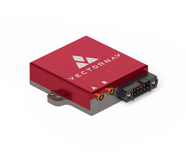
Aerospace and Air Force
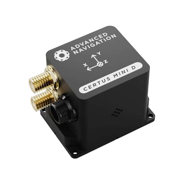
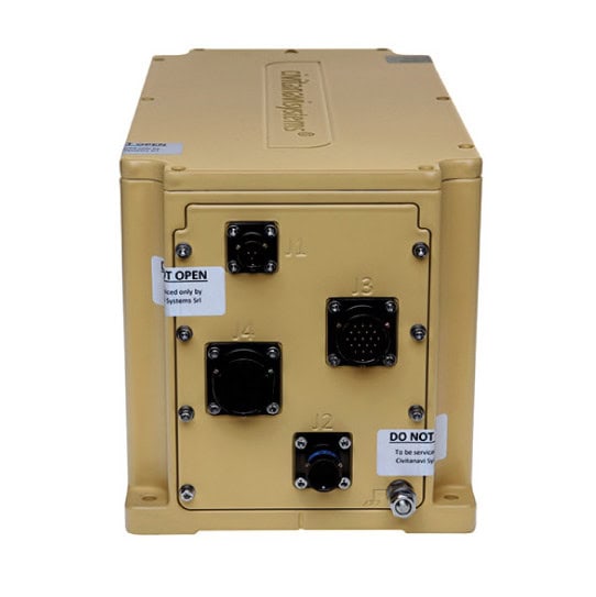
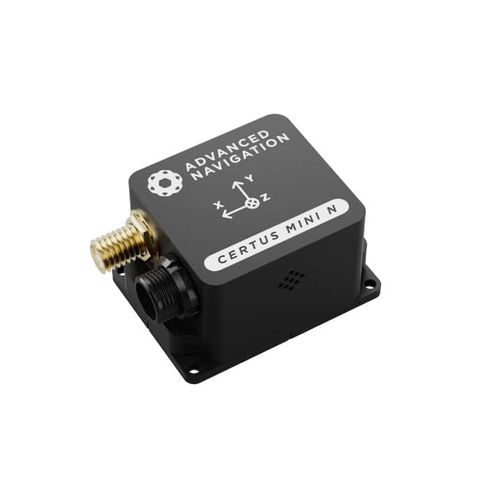
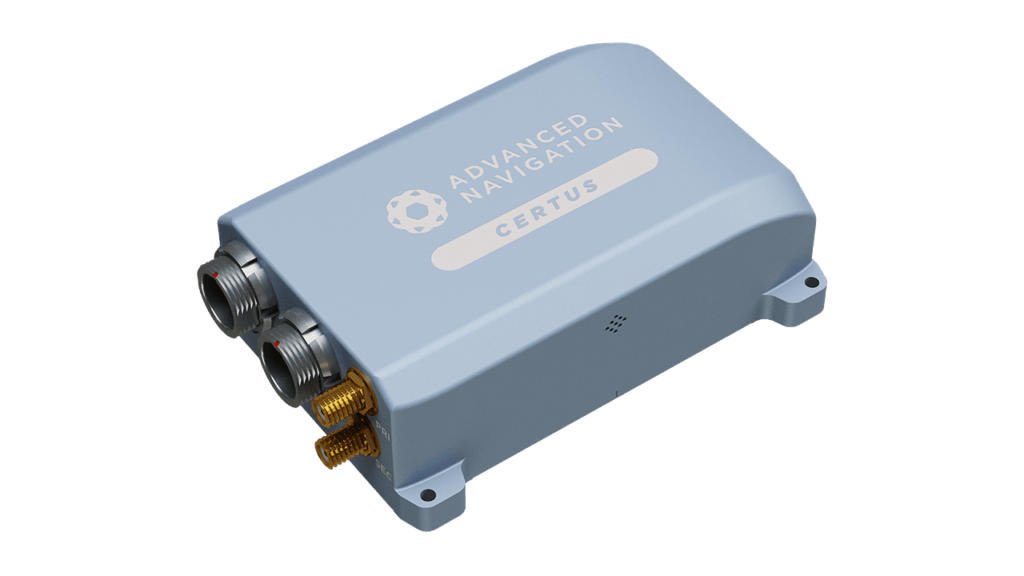
Certus Mini D MEMS GNSS/INS Inertial Navigation System ideal for Drones & Robotics by Advanced Navigation
INS is critical for military aircraft, UAVs, and spacecraft. It provides precise navigation, attitude determination, and redundancy in GPS-denied environments.
Maritime and naval systems
Submarines and naval vessels rely on INS for underwater navigation, where GPS signals are unavailable.
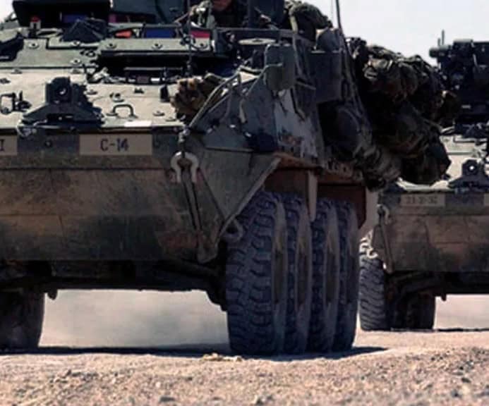
Military ground vehicles
INS supports autonomous navigation for military land vehicles and robotic platforms, enabling operation in hostile or signal-jammed regions.
Missile guidance and weapons systems
Precision-guided munitions, ballistic missiles, and cruise missiles use INS for accurate targeting and mid-course corrections.
Underground and GPS-denied environments
INS enables effective navigation in tunnels, caves, and urban warfare scenarios where satellite signals are obstructed.
Advantages and Limitations
Advantages of INS
Operates independently of external signals, making it resilient against GPS jamming
Provides high-speed, real-time navigation updatesWorks in all environments, including underwater and
underground scenarios
Limitations of INS
Sensor drift accumulates over time, requiring periodic corrections
Accuracy depends on sensor quality and calibration
Hybrid solutions are often needed for long-duration missions
INS vs Other Navigation Systems
Comparison table of Inertial Navigation Systems (INS) with Other Navigation Technologies
Inertial Navigation System (INS)
GNSS (GPS/GNSS)
Dead Reckoning
Visual SLAM (Simultaneous Localization and Mapping)
Dependence on External Signals
No (fully self-contained)
Yes (requires satellites)
No (relies on internal motion estimates)
Yes (requires visual landmarks)
Accuracy Over Time
High for short durations, but drifts over time
High (global coverage) but can be jammed
Moderate, but error accumulates
High in structured environments, lower in featureless areas
Resistance to Jamming & Spoofing
Very High
Low (easily jammed/spoofed)
Moderate
Moderate to Low (depends on external visual data)
Use in GPS-Denied Environments
Excellent
No
Good
Poor to Moderate (depends on visibility)
Drift/Error Accumulation
Yes, unless corrected with aiding sensors
No
Yes, accumulates significantly over time
Yes, if visual landmarks are lost
Common Military Applications
Missile guidance, submarines, UAVs, aircraft
General navigation, tracking, targeting
Low-tech backup for INS
Robotics, UAVs in structured environments
Integration with Other Systems
Frequently integrated with GPS, radar, and other aiding sensors
Often combined with INS for hybrid navigation
Used as an aiding system for INS
Combined with INS for enhanced navigation in some applications
Best Use Cases
Navigation in GPS-denied environments, high-speed applications, military-grade positioning
General outdoor navigation, civilian & military applications
Short-range navigation in enclosed spaces
Robotics, autonomous vehicles, AR/VR applications
Cost
High (especially military-grade INS)
Low to Moderate
Low
Moderate to High, depending on complexity
Summary of INS comparison table
INS excels in GPS-denied environments and military applications but requires drift correction.
GNSS is ideal for general navigation but is vulnerable to interference.
Dead reckoning is a low-cost alternative but suffers from error accumulation.
Visual SLAM works well in structured environments but depends on external visibility.
Combining INS with GNSS, radar, LiDAR, or SLAM can offer hybrid navigation solutions that maximize accuracy and resilience.
Advances and Future Trends in INS
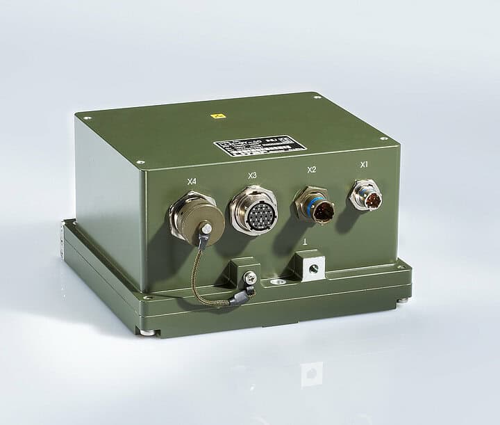
MEMS-based INS
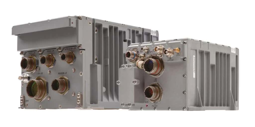
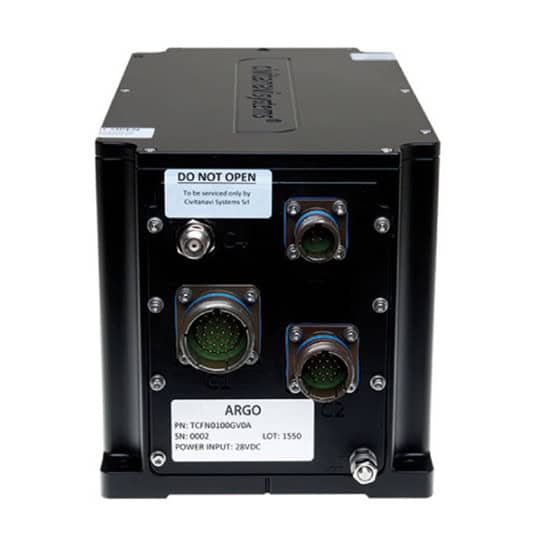
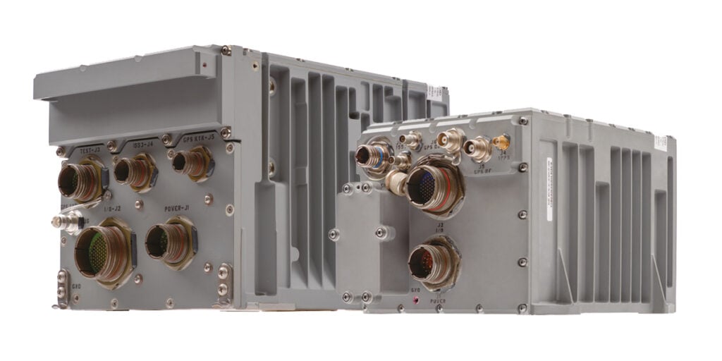
H-764 & FALCN GPS/INS GPS Inertial Navigation Systems by Honeywell for military applications
Micro-electromechanical systems (MEMS) technology has enabled miniaturized, cost-effective INS solutions suitable for small UAVs, robotics, and portable defense systems.
Quantum-based inertial sensors offer groundbreaking improvements in accuracy and stability, potentially revolutionizing military navigation.
Advanced sensor fusion
Future INS systems will integrate LiDAR, cameras, and radar for enhanced situational awareness and precision.
INS Buying Guide and Selection Criteria
Factors to consider when choosing an INS
Accuracy and drift rate: Higher accuracy and lower drift rates are crucial for long-duration missions.
Environmental conditions: Military INS solutions must withstand extreme temperatures, shock, and vibration.
Size and weight: Compact solutions are preferred for UAVs and portable applications.
Integration capabilities: Hybrid systems with GPS, LiDAR, or radar enhance performance.
Industry standards and regulatory guidelines
Defense-grade INS solutions must comply with industry standards such as MIL-STD for military equipment and DO-178C for software certification in avionics applications.
Future Developments in INS Technology
Ongoing advancements in sensor technology, quantum navigation, and AI-driven data processing will continue to enhance INS accuracy and reliability. As defense applications demand ever-more precise and resilient navigation solutions, the evolution of INS will play a vital role in modern military operations.
Marine inertial navigation system (INS) & global positioning system (GPS)
Marine inertial navigation system (INS) & global positioning system (GPS)
...s TALIN Marine InertialNavigationSystem(MINS) is a highly accurate and shock-stabilized inertial... ...dable maritime navigation, TALIN marine INS integrates both inertialnavigationsystem(INS) and...
Shock-stabilized position and pointing inertial navigation system for military land platforms
Shock-stabilized position and pointing inertial navigation system for military land platforms
TALIN inertialnavigationsystems can be mounted in any orientation, providing a compact,... ...cost-effective systems work in GPS-denied environments and are ideal for military vehicles with...
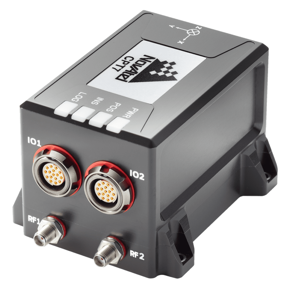
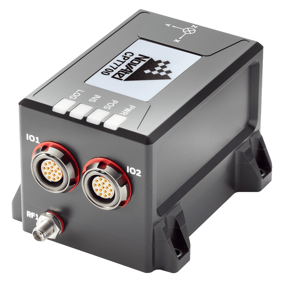
OEM dual-antenna GNSS-INS with Honeywell HG4930 IMU
OEM dual-antenna GNSS-INS with Honeywell HG4930 IMU
The Inertial Labs GPS-Aided InertialNavigationSystem(INS-DH-OEM) is an OEM version of the new... ...NSS-aided MEMS inertialnavigationsystem in an OEM form factor, featuring an advanced NovAtel...
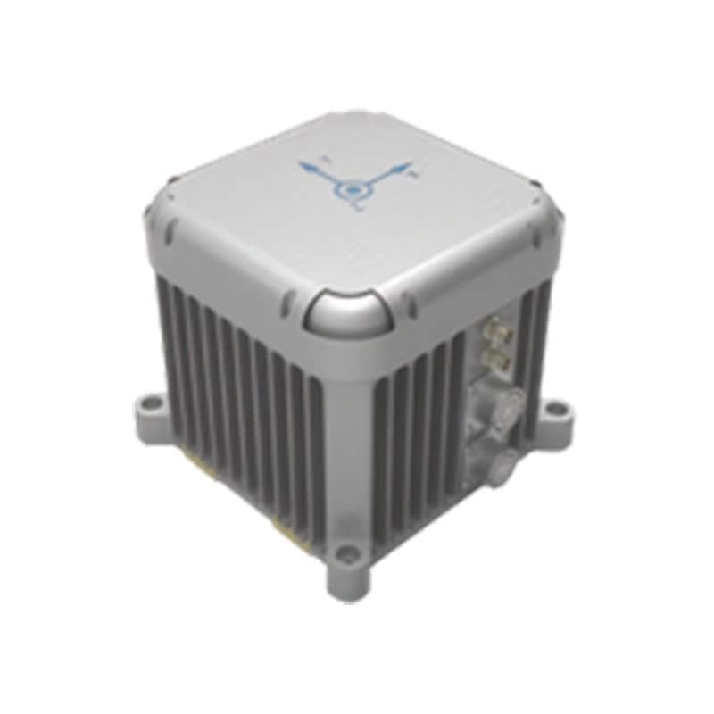
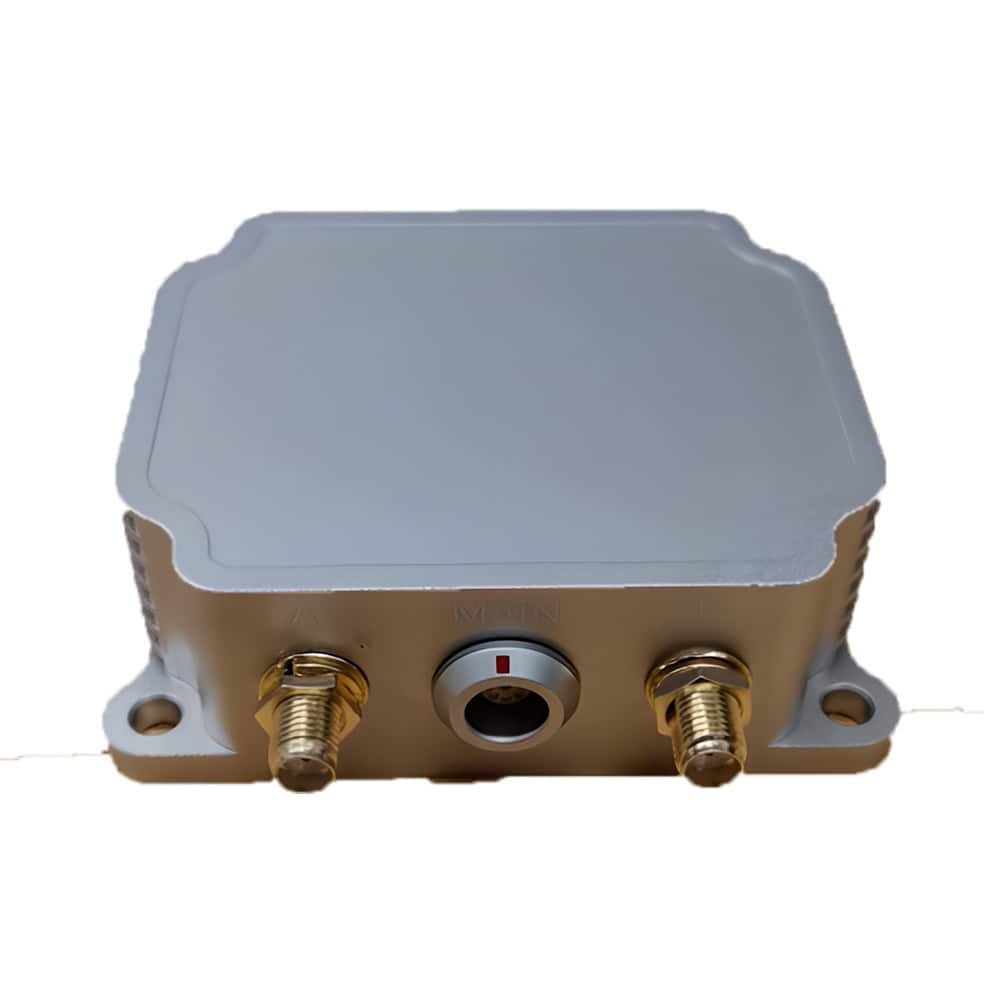
Basic single-antenna GNSS-INS with u-blox receiver
Basic single-antenna GNSS-INS with u-blox receiver
...ade GNSS-aided inertialnavigationsystem that is highly suited to marine, land and aerial... ...Applications: Low-Cost Precision Agriculture; Low-Cost Land Vehicle Navigation
Embedded GPS-aided INS (EGI) for military aircraft
Embedded GPS-aided INS (EGI) for military aircraft
...dded GPS-aided inertialnavigationsystems (EGIs) are self-contained units designed to support... ......lity, providing secure and future-proofed navigation capabilities for military aircraft...
...elded combined InertialNavigationSystem(INS), Attitude & Heading Reference System (AHRS) and... ...standards. The system is available with a variety of options for GNSS receiver, magnetometer and...
......elivers scalable Global Navigation Satellite System (GNSS) with internal storage and INS options.... ......uding serial, USB, CAN and Ethernet, the PwrPak7 is ideal for base station or rover applications....
... OEM7® Global Navigation Satellite System (GNSS) inside and offers built-in Wi-Fi, on board NTRIP... ...... is a robust, high precision receiver ideal for ground vehicle, marine or aircraft based systems....
Combines with SPAN GNSS+INS technology providing 3D position, velocity and attitude
Combines with SPAN GNSS+INS technology providing 3D position, velocity and attitude
......actical grade Mems IMU enclosure for commercial and military guidance and navigation... ...ctromechanical Systems (MEMs) Gyros and RBA accelerometers. Our Synchronous Position, Attitude and...
Compact enclosure with SPAN GNSS+INS technology delivers 3D position, velocity and attitude
Compact enclosure with SPAN GNSS+INS technology delivers 3D position, velocity and attitude
...ctromechanical System (MEMS) Inertial Measurement Unit (IMU) to support leading-edge SPAN technology... System Type: Enclosed with IMU GNSS+INS enabled...
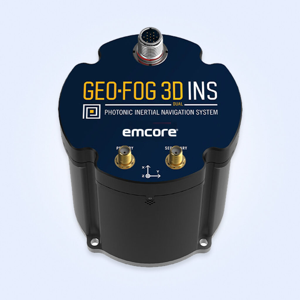
Rugged Inertial Navigation System with Embedded GNSS & Advanced PIC Technology
Rugged Inertial Navigation System with Embedded GNSS & Advanced PIC Technology
...EO-FOG 3D Dual InertialNavigationSystem(INS) is a precise and reliable solution for military... ...Stabilization, Navigation, and Control: Ensures precise navigation for both manned and unmanned...
...Tactical Grade System, engineered for high-quality performance in demanding militaryapplications.... ...... is designed for integrator and OEM use in a variety of critical militaryapplications,...
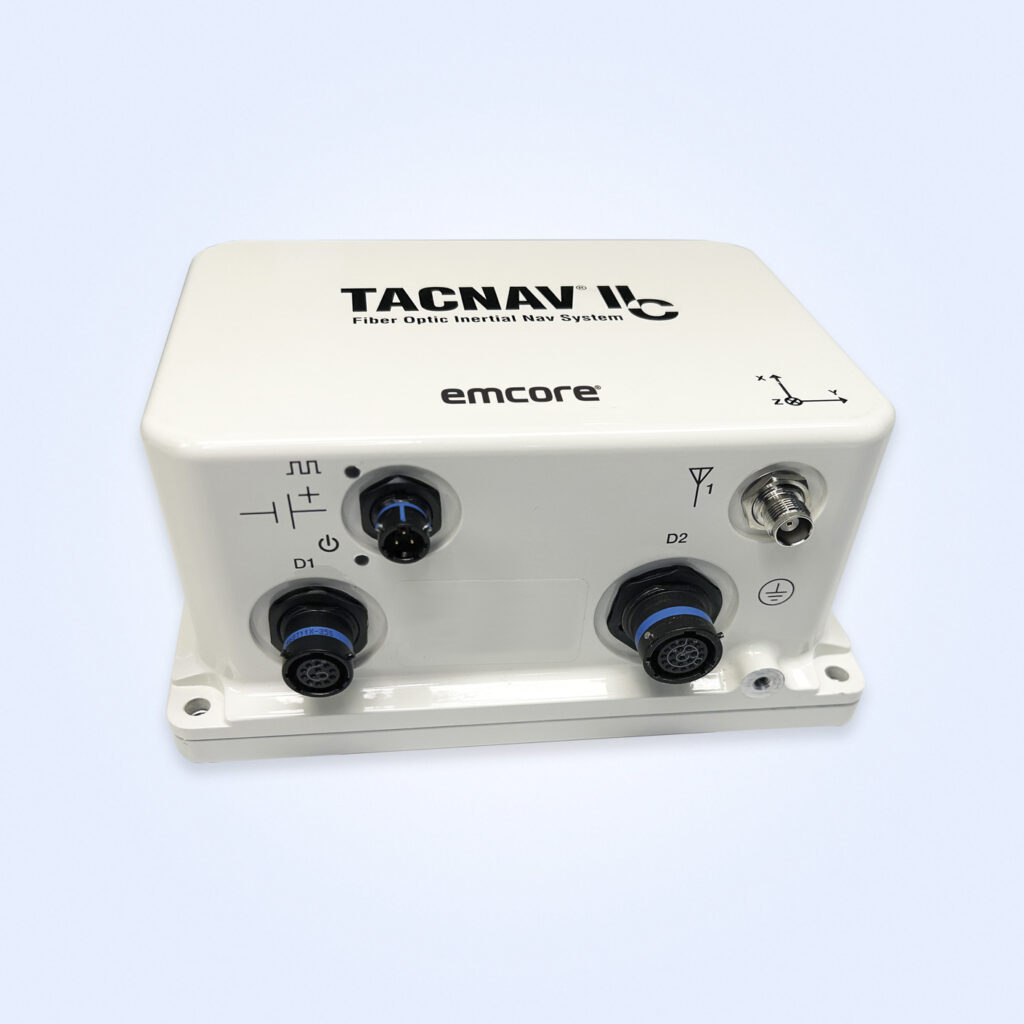
FOG-based tactical inertial navigation system for all terrains
FOG-based tactical inertial navigation system for all terrains
...based tactical InertialNavigationSystem(INS) that provides highly accurate navigation with an... ...dead reckoning navigation, ensuring 100% situational awareness even in GNSS-denied environments....
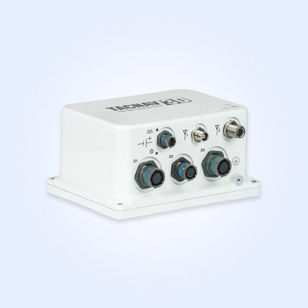
Military fiber optic INS for 3D navigation - assured-PNT-capable
Military fiber optic INS for 3D navigation - assured-PNT-capable
...® 3D tactical inertialnavigationsystem, built on FOG (Fiber Optic Gyro) technology, offers... ...chnology, this system ensures greater reliability and accuracy in challenging terrains. TACNAV 3D...
Advanced Navigation's LVS is a new class of navigation technology using IR lasers to measure a vehicle’s ground-relative 3D velocity with extraordinary accuracy and precision
Exail has been chosen by the Czech Republic’s VTU to provide its Advans Series Inertial Navigation Systems (INS) for artillery command and reconnaissance vehicles, ensuring precise navigation in GNSS-denied environments
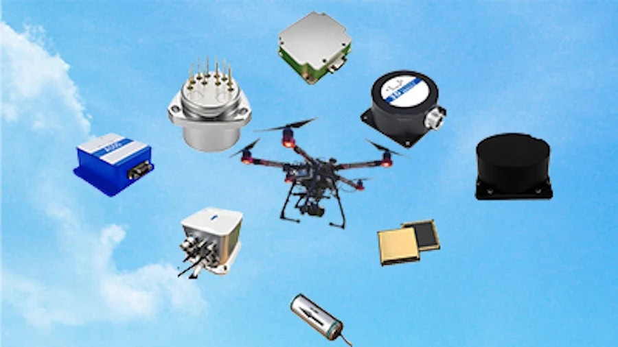
Defense Advancement showcases Micro-Magic's high-precision MEMS, Quartz and FOG inertial sensing systems for military, aerospace, and defense applications
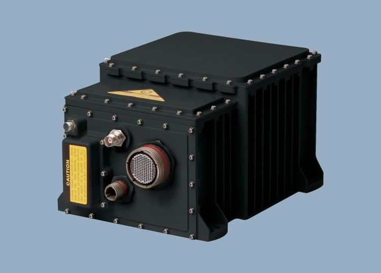
Northrop Grumman’s LN-251M upgrade enhances the U.S. Navy’s airborne navigation with advanced M-code technology, offering improved resistance to GPS jamming and spoofing threats
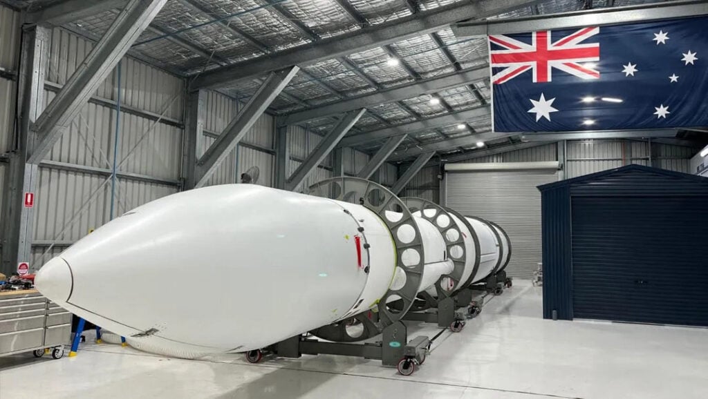
Advanced Navigation has been awarded funding through the Australian Space Agency’s Moon to Mars Initiative to develop a high-shock Inertial Navigation System (INS) capable of withstanding the extreme conditions of rocket launches
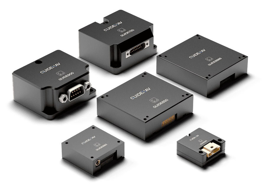
Defense Advancement showcases LITEF's inertial sensing and navigation systems for military land vehicles and ground forces, designed to provide reliability and performance under mission-critical conditions
Advanced Navigation will leverage APNT expertise with MBDA’s NILEQ terrain fingerprinting technology to provide resilient positioning for military systems
Join Global Defense Engineering ProfessionalsSign up free to DA Pro to get full website access, the weekly eBrief and exclusive event discounts.
Advancing Defense Capability Through Strategic CollaborationDefense Advancement works with major OEMs to foster collaboration and increase engagement with SMEs, to accelerate innovation and drive defense capabilities forward.